
The vote is more than just a routine planning decision. The municipal master plan is binding on public authorities and sets out how Winterthur will organize housing, mobility, open spaces, and infrastructure by 2040. It is based on the “Winterthur 2040 Development Outlook,” which has already defined the priority areas along the urban backbone.
The proposal is controversial because it combines growth, climate goals, and competition for land use into a single instrument. The city anticipates a population of approximately 135,000 residents by 2040, as well as tens of thousands of additional jobs. The current master plan dates back to 1998 and is considered outdated in key areas.
Densification along the East-West Axis
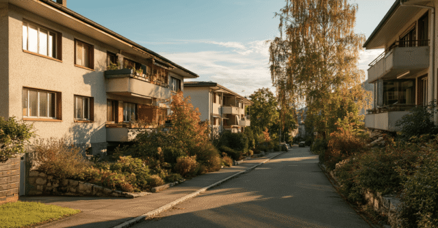
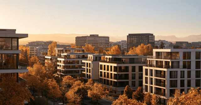
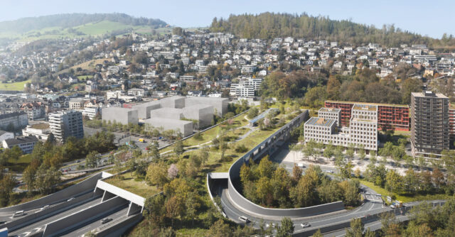
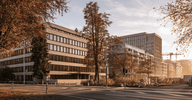
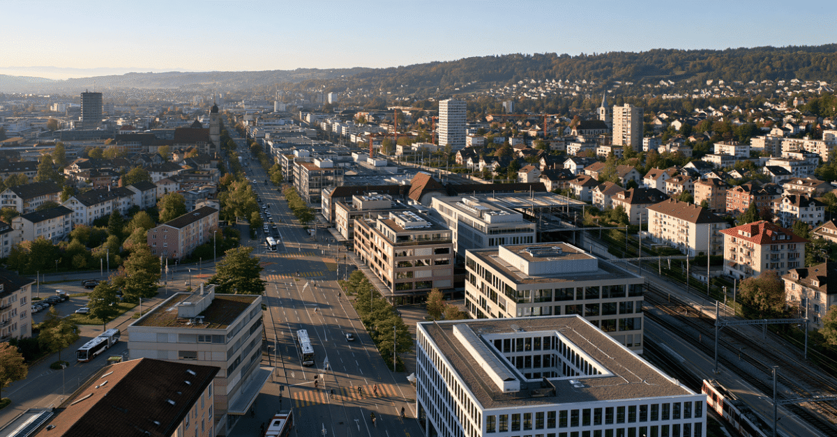
In terms of construction, the proposal focuses on the axis stretching from Töss through the main train station and Grüze to Oberwinterthur. There, buildings are to be constructed more densely and, in some cases, taller, while existing residential neighborhoods are to be largely preserved and developed only to the extent that it is compatible with their character. For the real estate industry, this sends a clear signal as to where additional uses, repurposing, and larger-scale site developments are more likely to receive political support.
The housing market is also directly affected. Following the referendum on “Housing for All,” the master plan is to enshrine the goal that nonprofit housing developers create an average of 120 new apartments per year by 2040. This means the vote on the master plan will also set the course for future housing construction programs, building height increases, and cooperative development models.
Car Traffic Becomes a Point of Conflict
Mobility is the most hotly contested issue. According to the city’s goals, the share of motorized private transportation is to drop from 42 to 20 percent by 2040. At the same time, Winterthur aims to prioritize buses, bicycles, and walking; coordinate the bicycle network; give buses priority on key corridors; and widely implement a 30 km/h speed limit in residential neighborhoods. Along the urban backbone, low-car or car-free living should become the norm, and public parking spaces could be eliminated without a general requirement for alternative parking.
Opponents from conservative parties and business associations criticize these targets as unrealistic and economically risky. Proponents counter that the limited urban space and the net-zero goal for 2040 cannot be achieved without a clear shift in transportation modes. It is precisely this contrast that makes the vote a delicate matter for property owners, developers, and investors. It does not decide on a single project, but rather on the planning framework within which future building permits, mobility concepts, and neighborhood developments will be assessed.
Open Space Remains Part of the Equation
In addition to transportation and density, the master plan establishes a green-gray-blue network of parks, streams, plazas, and street spaces. Controversy surrounds the suburban parks, which are also intended to incorporate agricultural land. For densely developed areas, this component is more than just a supplementary program, as shading, cooling, and quality of life are increasingly becoming critical location factors. With the referendum on November 29, 2026, Winterthur will thus decide on the spatial guidelines for the next decade and a half.