Preventing heat islands in the planning stage
Urban and neighbourhood planning takes on a new dimension in times of climate change. A question that urgently arises: How do you prevent heat build-up through buildings? The Lucerne University of Applied Sciences and Arts has developed a tool that can calculate the microclimate in existing and planned neighbourhoods in a matter of seconds.
Climate change is causing problems for cities, especially in summer. “Heat island” has become a ubiquitous topic. However, those who plan larger neighbourhoods can avoid heat accumulation. The decisive factors here are the setting of the buildings in line with their surroundings, the choice of materials for façades and outdoor areas, green spaces and clever shading. The effects of these factors should actually be taken into account at an early planning stage. For this, however, architects would have to consult computer models that can calculate the impact of the decisive factors for a specific location. The problem with the existing models is that the calculation is time-consuming and costly. For this reason, they are usually not used at an early stage. The Lucerne University of Applied Sciences and Arts (HSLU) has now developed a new interactive neighbourhood climate modelling (QKM), which is limited to phase-specific information and delivers results in seconds. The project was financed by the Infinite Elements Foundation and the HSLU.
Things have to move fast in the planning phase
For large-scale construction projects, architectural firms usually apply in an elaborate competition procedure under high time pressure. “They have to consider a multitude of requirements in their design, one of which is the microclimate,” explains simulation expert Prof. Markus Koschenz from the Lucerne University of Applied Sciences and Arts. High costs and two-day waiting times would be out of the question for the architects in this creative work phase. But this is exactly what they would have had to accept up to now if they wanted to include the complex calculations. So what happens if you win a competition project and only then realise that the building placement was chosen in an unfortunate way? After all, the jury has decided in favour of the proposed solution; fundamental adjustments are no longer envisaged in the phase after the jury’s decision – even if the subsequent calculation of the microclimate would suggest this. In short, the dilemma cannot be solved this way. Now, warmer summer temperatures are already causing problems for people today. Warming in the coming years and decades will increase, which can be life-threatening, especially for older people. And buildings that are being planned now will still be standing in fifty years. Ignoring all this in the planning process seems negligent.
Results in seconds
“What is needed is an instrument for calculating the microclimate that is cheaper and, above all, can deliver results very quickly,” says Koschenz. His core team with Andrii Zakovorotnyi, Reto Marek and an external Revit specialist developed this instrument at the Lucerne University of Applied Sciences and Arts. He explains: “Existing methods use generally applicable computational fluid dynamics (CFD) instruments. These instruments can be used by specialists to develop machines, investigate flows on aircraft or determine the microclimate in neighbourhoods. They are powerful but also correspondingly complex. Our model concentrates on the aspect of the neighbourhood climate and we work with algorithms that calculate quickly,” says Koschenz, explaining the striking difference in calculation speed. It takes seconds or at most a few minutes to calculate the effects of a change. The tool can be used by the planners themselves from the first step in the planning process. With little effort, for example, one can compare two variants of façade design or the planting of trees in an inner courtyard. And not just for one summer day, but for an entire summer period.
Checking the model with measurements
The information on the planned buildings, their position, the materials used or the type and position of green spaces and trees is obtained by the interactive neighbourhood climate modelling from the planning tool Revit, which is already used in architecture and landscape planning offices. From this, the physical model calculates the effect of radiation, shade, heat storage properties of materials, air flow, vegetation and time of day on the neighbourhood climate. Images with colour scales show the results in an intuitively understandable way.
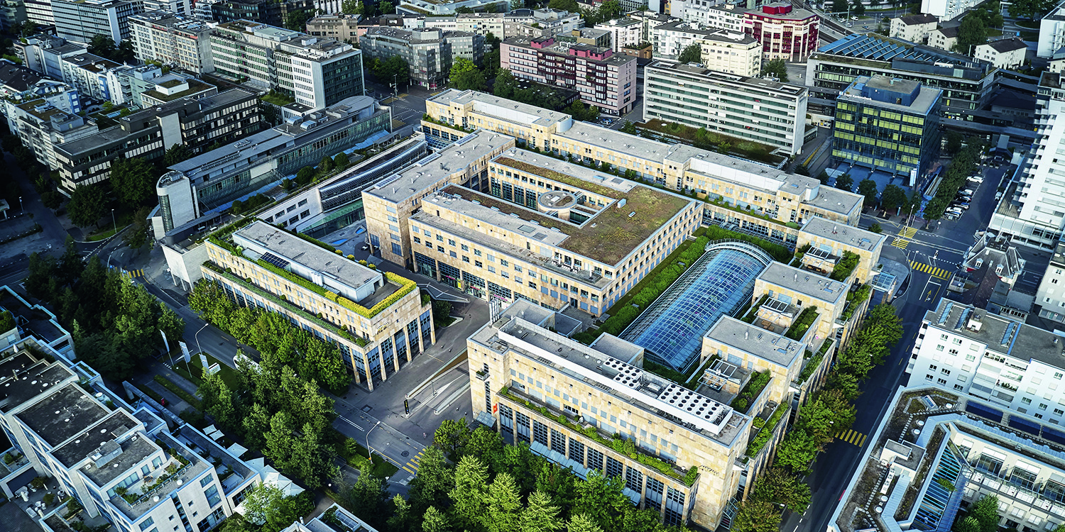
Koschenz’s team proved that the model works correctly with measurements in the Suurstoffi district in Rotkreuz and also compared the results with those of existing commercial software. Koschenz is extremely satisfied with the results: “We can say that the agreement with both the measurements and the results of other software was high. This means that our tool is much faster with the same accuracy.